Flood protection
Through examination of historical information, conducting a geomorphological analysis of the riverbed and its flood plains, and hydrological and hydraulic studies with a low level of detail, an initial assessment can be obtained of flood hazard and exposure, identifying “Areas whose Potential Flood Risk is Significant”.
Based on Digital Terrain Models (DTM) obtained using LiDAR technology or classic topography (scale 1:1000 with an equal distance of 1 m between contour lines) and 1D and 2D hydraulic models.
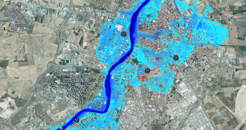
Hazard: representing the flooded surface area, the depth and velocity/flow rate of the flood associated with different return periods. Usually, the area is represented as occupied by a flood with a very high likelihood (ordinary flood with a return period of <5 years), a high likelihood (return period of 50 years), average likelihood (return period of 100 years) and low likelihood (return period of 500 years).
Risk: jointly representing the hazard and the possible impacts for human health (number of inhabitants who could be affected), the environment (protected natural areas), economic activity (interruption of essential services) or cultural heritage (monuments of interest).
Normally focused on the use of structural measures, which may lead to a false sense of safety. These structural measures must be complemented with the use of non-structural measures.
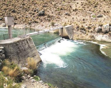
Structural: flood control dams, levees, diversion channels longitudinal bank protection, etc.
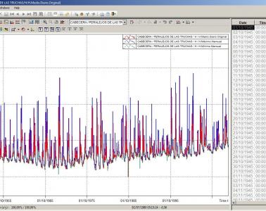
Non-structural: organisation of land use in urban areas, hydrological and forest restoration in drainage basins, automatic hydrological information systems, decision-making aid and population warning systems.
